
AGGNOR / PLANS

Turn mapped risk into preparedness and mitigation actions.

Compare priorities for fire services, municipalities, landowners and infrastructure operators.

FROM MAP TO ACTION

Where to prepare.
What to change on the ground.

AggNor’s proposed plans turn hazard, spread and exposure analysis into local priorities. The tool suggests where to look; fire services, landowners and municipalities decide which actions are appropriate.

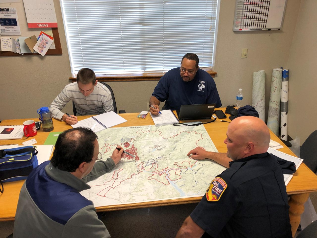
A wildfire planning team reviewing a marked map together
Example planning image: NIST. Replace with an AggNor pilot image when available.
PREPAREDNESS PLAN

Give every priority area a reason and an action.

For a municipality and fire service, the map can define P1, P2 and P3 preparedness polygons. Selecting an area explains why it is prioritized, how many buildings or infrastructure assets fall inside, and which practical steps need local review.

  • Know the exposure: identify homes, vulnerable facilities, power assets, forest resources and access routes.
  • Prepare the response: review water supply, staging locations, routes, communication and resource positioning.
  • Practice together: use ignition and spread scenarios in exercises for fire departments and training schools.
  • Keep it current: record local inspections and update priorities when conditions or assets change.
MITIGATION PLAN

Compare treatment choices with the people managing the land.

Priority polygons can identify where reducing vegetation or changing fuel continuity may help. AggNor can present the likely exposure and scenario effect; forest owners, fire services and relevant authorities evaluate feasibility, ecology, cost and permits.

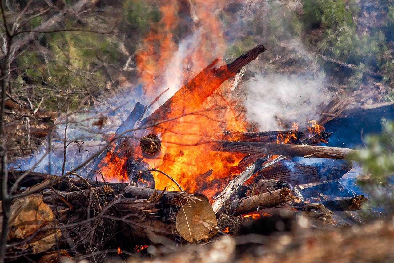
Fire crews carrying out a controlled prescribed burn
PRESCRIBED BURNING

Renew and reduce fuel

Planned burning can reduce accumulated vegetation in suitable heathland or forest settings. The plan identifies candidate areas; trained practitioners assess season, weather, smoke, ecological goals and approvals.

Photo: U.S. Forest Service, public domain · source
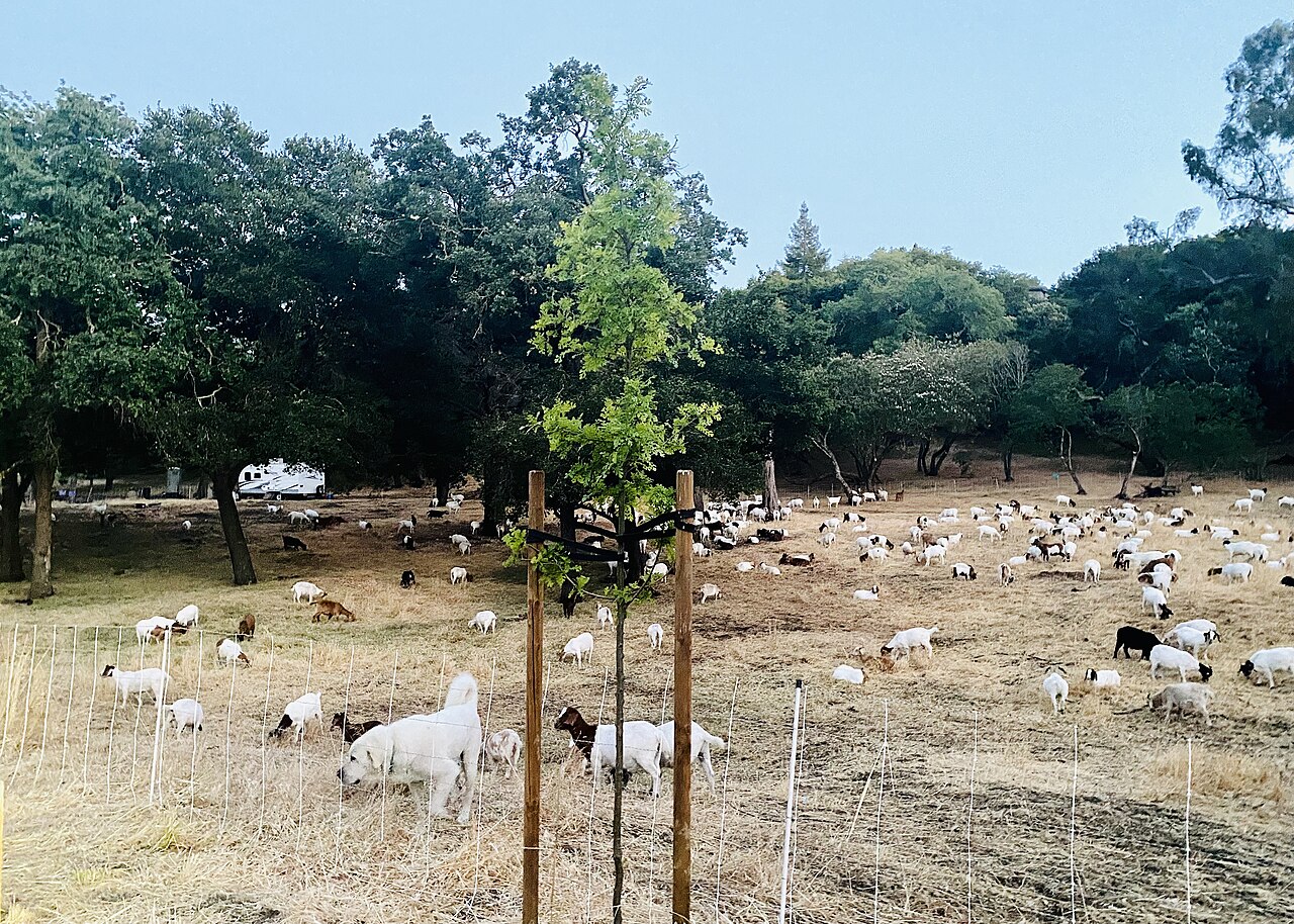
Goats grazing vegetation as a fire prevention measure
GRAZING

Manage regrowth

Targeted grazing can keep grasses and shrubs lower in accessible areas. The plan can help landowners compare location, timing, animal welfare, fencing and the need for repeat visits.

Photo: Suiren2022, CC BY-SA 4.0 · source
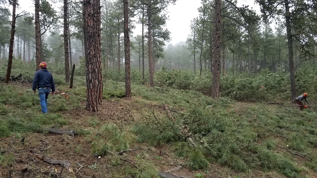
Mechanical forest thinning to reduce dense vegetation
CUTTING & THINNING

Break up continuous fuel

Selective cutting, brush removal and thinning can open strategic access or reduce dense vegetation near assets. The plan flags candidate corridors and areas for field assessment and maintenance.

Photo: U.S. Forest Service, public domain · source

These photos show examples outside Norway. Local treatment decisions depend on site conditions and approval by the responsible parties.

Have a place or problem in mind?Let’s talk ↗